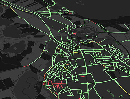
Road Inspection Software for Better Decisions.
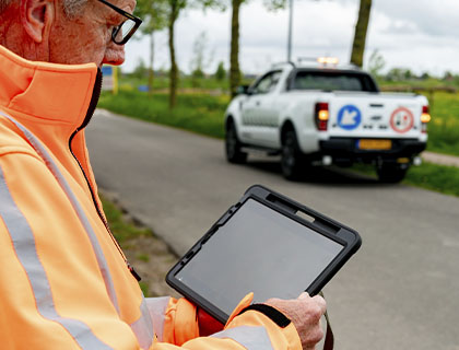
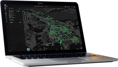
Inspech helps inspection teams assess road imagery, record defects and deliver consistent results in an interactive digital twin.
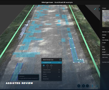
AI Automation saves time by preparing potential defects for inspectors to review and validate.
Road owners can use the findings, images and comparisons with earlier inspections to prioritise maintenance, plan timely interventions and make better use of their budgets.
































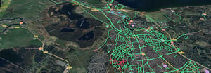
Turn road images into a digital twin for inspection
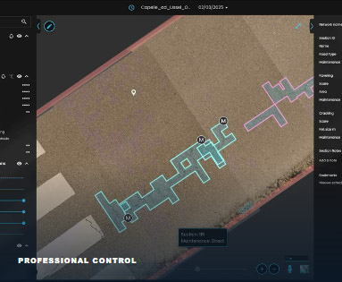
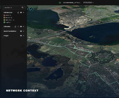
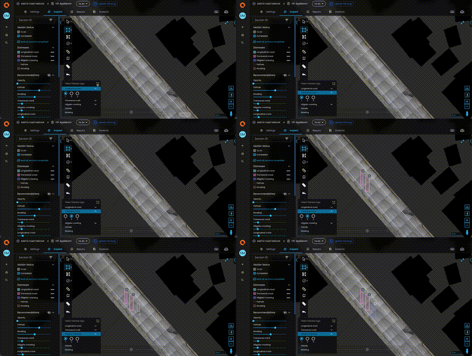
Upload compatible road video or georeferenced photos to create a digital twin of your road network: an interactive map with detailed road imagery. Inspectors use it to examine the road surface, record defects and assess road sections according to the selected inspection method.
AI Automation prepares potential defects and suggested classifications for review. Inspectors can check and refine these recommendations or work entirely manually. Validated results can then be compared with earlier inspections, reported, exported and shared with clients.

Why Inspech?
Make inspection work more productive and the results more useful.
| Complete inspections
faster

AI Automation prepares potential defects for review, while bulk actions reduce repetitive assessment work. Inspectors spend less time finding and drawing defects manually and can focus their expertise on findings that need closer examination.
| Make better-informed
maintenance decisions

More efficient inspections make regular assessments practical. Consistent methods and comparisons with previous results help teams assess developing defects and prioritise timely maintenance. Supported exports bring those findings into existing GIS, analysis and planning workflows.
| Collaborate through
shared access

Give clients complimentary read-only access to completed inspections. They can explore the digital twin and examine the findings and imagery behind the report, providing a shared basis for discussing maintenance priorities and agreeing on next steps.
Inspech for your organisation

Inspection &
Engineering Providers
Increase inspection capacity and deliver consistent assessments across client assignments. Use validated findings within your wider engineering services and give clients direct access to completed inspections and the evidence behind your advice.

Road
Authorities
Keep road-condition information up to date and identify where timely maintenance could help prevent
more extensive repairs. Whether you inspect in-house or use a provider, detailed findings help you
prioritise work, allocate budgets and explain maintenance choices.

Road
Concessionaires
Follow visible pavement conditions between engineering surveys to support timely interventions and
control maintenance costs. Use validated findings, images and inspection history to coordinate teams
and substantiate the conditions reported to authorities.
Built on shared expertise
Inspech brings road inspection expertise directly into software development. Unihorn contributes practical knowledge of pavement engineering, inspection methods and professional delivery. Braincreators brings the applied AI and software expertise to translate those requirements into working
tools.
This collaboration shapes how inspectors review defects, apply classifications and deliver results to road owners. It keeps development grounded in the realities of inspection work, with professional judgement and practical usability at the centre.

Frequently asked questions
Inspech's digital twin is an interactive, map-based representation of your roads, combining georeferenced road imagery with inspection sections and recorded defects. It allows users to examine the road surface, navigate between locations and review validated inspection findings. Unlike a structural pavement model, it represents visible road conditions rather than the underlying pavement structure.
No. Inspech supports fully manual road inspections as well as AI-assisted workflows. Inspectors can record, classify and evaluate defects themselves or use AI recommendations to reduce repetitive assessment work. In both cases, the inspector remains responsible for reviewing and validating the findings.
Yes. Inspech is designed to complement existing Pavement Management Systems (PMS), Asset Management Systems (AMS) and GIS workflows. Validated inspection information can be exported in supported formats, including spreadsheets and geographical data files. Configured API routes are also available for defined workflows. Compatibility with a specific system depends on its data requirements and available interfaces.
Inspech focuses on visible pavement defects and surface conditions captured in road imagery. These findings can help engineers identify areas requiring closer investigation and support maintenance planning. Structural properties, bearing capacity and other characteristics requiring specialised measurements remain within the scope of established pavement engineering methods.