
INTEGRATIONS AND OUTPUT
Designed to fit existing road-management workflows.
Inspech structures visual inspection information so it can be reviewed in the platform and used in supported GIS, reporting and road-management workflows.
The route from validated assessment to downstream use is defined for the operating context—without treating every export as a native integration or every visual finding as an engineering decision.
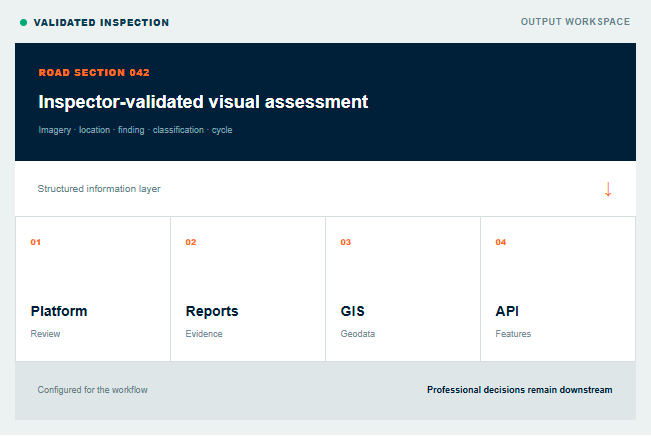
ONE VALIDATED EVIDENCE BASE | Review → Report → Export → Exchange
SUPPORTED OUTPUT ROUTES
Use the same validated evidence in the workflows around Inspech.
Different teams need different views of the same inspection record. Inspech keeps the relationship between evidence, location and professional validation intact.
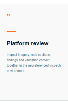
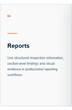
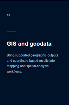
Availability is configuration-specific. Formats, fields, coordinate systems, API resources and exchange routes are confirmed for the intended workflow.
COMPATIBLE OUTPUTS
Start with the output decision, not only the camera.
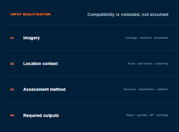
Inspech works with compatible road imagery from accessible camera configurations and validated professional capture workflows. The capture setup must preserve the image quality and location context required by the inspection objective.
Before operational use, the route, standard, geometry, coordinate system and required downstream information are agreed. This prevents an apparently successful upload from producing an unusable result later in the workflow.
GIS AND GEODATA
Preserve road-section context beyond the platform.
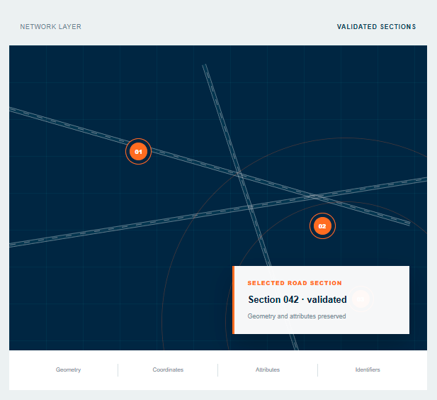
Inspech organises imagery and findings geographically. Supported geodata outputs allow validated information to be used in mapping, analysis and road-management workflows while retaining its relationship to the road network.
01 - Map and section views
Review locations, routes, sections and findings in their geographic context.
02 - Supported geometries
Use the available centreline, section or polygon representation configured for the project.
03 - Coordinate outputs
Confirm the required reference system and transformation for the delivery market.
04 - Export structure
Align fields and identifiers with the downstream GIS or reporting purpose.
AGREE SUCCESS BEFORE STARTING
Six questions the evidence must answer.
The exact measures are tailored to the workflow, but the evaluation should make each of these areas explicit.
01
Inspection overview
Summarise scope, route, method, cycle and validated inspection status.
02
Section-level findings
Present findings by road section with the applicable classifications and context.
03
Visual evidence
Keep relevant source imagery connected to the reported observation.
04
Professional provenance
Make clear that recommendations were reviewed and the assessment was validated.
Inspection → Road sections → Findings → Visual evidence → Validated report
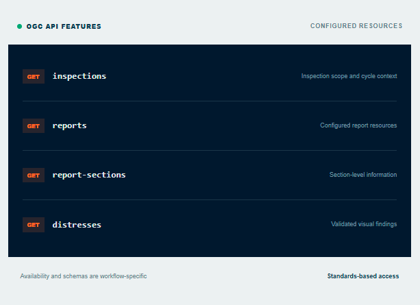
API RESOURCES
Standards-based access to configured feature information.
Where configured, Inspech exposes supported resources through OGC API Features. This allows downstream applications to request geographic inspection information in a standards-based way.
The available collections, fields, identifiers and access arrangements are confirmed for the operating workflow. The API exposes information; it does not transfer responsibility for its professional interpretation.
USE THE API WHEN a repeatable, machine-readable exchange is required.
USE AN EXPORT WHEN a controlled project or reporting handoff is sufficient.
PMS, AMS AND SYSTEM FIT
A defined exchange route - not an assumed connector.
Inspech complements the systems and engineering information already used to manage the network.

Designed to complement
LCMS · IRI · FWD · skid resistance · pavement engineering · GIS · PMS · AMS.
STANDARDS AND COUNTRY OUTPUTS
Publish verified support, qualify readiness and validate everything else.
Standards support is not a universal compatibility claim. The applicable method, taxonomy, coordinate system and output configuration must fit the intended market and workflow.
Market
Standard / methodology
Support
Netherlands
Belgium
Brazil
United Kingdom
International
Other markets
CROW visual assessment
OCW
DNIT 006/03 and DNIT 008/03
PAS 2161
PCI / ASTM D643
Configurable taxonomy
Supported
Supported
Supported
To be validated
Supported
On request
Specific version, scope and delivery details are confirmed during workflow design or Operational Validation
FREQUENTLY ASKED QUESTIONS
What GIS, IT and asset-management teams usually need to know.
The detailed output specification is agreed against the actual downstream purpose, not inferred from a generic integration list.
VALIDATE THE COMPLETE INFORMATION PATH
Start with the decision and work back to the required output.
Use a representative route and real downstream requirements to confirm imagery, standards, geometry, reports, exports, API resources and system fit before operational use.
INCLUDE IN OPERATIONAL VALIDATION
✓ Target GIS, PMS, AMS or reporting workflow
✓ Required geometry and coordinate system
✓ Reports, fields and visual evidence
✓ API resources or controlled exports
✓ Acceptance criteria and ownership