

Reflections from our first Paving Expo: applied AI, recurring pavement assessments and traceable evidence for road conservation. By Glenn Brouwer – CEO & Founder of Inspech.
At our first Paving Expo in São Paulo, Fabio Abritta and I brought a straightforward question to the stage:
How current is the evidence behind your next road decision?
That question was at the heart of our session, Applied AI: More current road evidence for concession decisions between formal surveys. It also explains why Brazil matters to us—not simply as a new market, but as a place where infrastructure investment, operational responsibility and better evidence meet. [4]
On Wednesday, 23 September 2026, we proudly announced the Brazilian version of Inspech at Paving: a Brazilian Portuguese interface and support for Brazilian pavement-assessment workflows based on DNIT 006/2003-PRO and DNIT 008/2003-PRO. For our team, this was an important milestone. The next step is to validate the workflow in each organisation’s operating context.
The larger question is how applied AI can earn a useful, lasting place in the day-to-day work of assessing pavement condition and planning maintenance.
From attracting investment to sustaining trust.
In her recent LinkedIn post, Viviane Esse highlighted new investors and increased competition in Brazil’s road concessions. Her broader point was that concessions involve more than auctions: confidence and investment also need to translate into infrastructure. [3]
For me, that raises an important question about what happens after the investment decision. How do the teams responsible for these roads explain their maintenance priorities, identify where further investigation is needed and show how conditions have changed?
ANTT’s article of 18 September describes the work of Verificadores Independentes (VIs). At that date, 27 federal road concession contracts were covered by 11 verification firms. Under the model described, field inspections for acompanhamento da conservação—conservation monitoring—cover the entire concession road system at least once every two weeks. Findings are consolidated monthly, with photographs and supporting technical records. [1]
Fernando Bezerra’s accompanying post distinguishes technical support from ANTT’s own fiscalização—its regulatory inspection and enforcement role. He also identifies opportunities to connect systems and make fuller use of field data. [2]
I see an operational connection between these discussions: investment decisions create responsibilities, and usable evidence helps the people carrying those responsibilities explain what is happening on the road.
Roads change between surveys. Decisions cannot wait.
Specialist pavement surveys and engineering measurements remain essential. Visual imagery does not replace laser-based measurements, roughness assessment or structural testing. [8]
This is not about assuming that inspection stops between surveys. It is about helping the professionals already assessing roads turn suitable imagery into more structured, comparable evidence of pavement-surface condition. Recurring visual assessment can support their conservation routines while complementing specialist surveys and field inspections. [8]
This was the central idea in our Paving presentation. The timeline we showed placed recurring visual assessments alongside the engineering survey cycle, not in competition with it. Maintenance decisions continue between measurement campaigns. [4]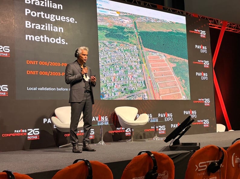
Inspech is a Visual Condition Evidence layer for pavement conservation.
It turns recurring road imagery into georeferenced records of visible pavement defects and changes in surface condition, reviewed and validated by professional inspection teams. These records support maintenance prioritisation and closer engineering investigation. [4]
The workflow connects suitable imagery, AI-assisted review and professional validation. Reviewers can confirm, adjust or reject findings. Reports, GIS data, APIs and exports allow the evidence to support existing engineering and management workflows. [4]
Technical reviewers own the assessment. Engineers and asset managers own the decisions that follow. Inspech is a software tool for these teams, not a Verificador Independente or a replacement for ANTT’s regulatory role. [8] [7]
From field records to evidence that teams can use.
I believe the next step in applied AI for infrastructure is to focus less on how many observations a system generates and more on whether those observations help someone do their job.
A photograph can show a visible defect. To use it confidently, a team also needs to know where and when it was captured, how it was assessed and what its limitations are. To understand change, the record needs to remain useful alongside later observations.
Frequency matters. So do consistent recording and traceability.
The purpose of more frequent capture is not to accumulate images. It is to create a dependable basis for comparison, with professional judgement preserved.
Consider a conservation team preparing its next work programme. A recent visual assessment can help identify sections needing closer engineering attention. Earlier records can show whether a visible issue is new or persistent. After an intervention, another assessment can document the visible before-and-after condition. It is supporting evidence, not automatic certification that the work meets every technical or contractual requirement. [4]
The objective is not simply to detect more defects. It is to help professionals decide where to focus, what to investigate and why.
Proven applied AI means repeated use in real operations.
Our contribution to this discussion is grounded in operational experience.
As we shared in our Paving handout, Inspech’s work with Unihorn has covered approximately 80% of the Dutch national highway network, with around 20,000 cumulative lane-kilometres since 2021, including repeat inspection cycles. [4]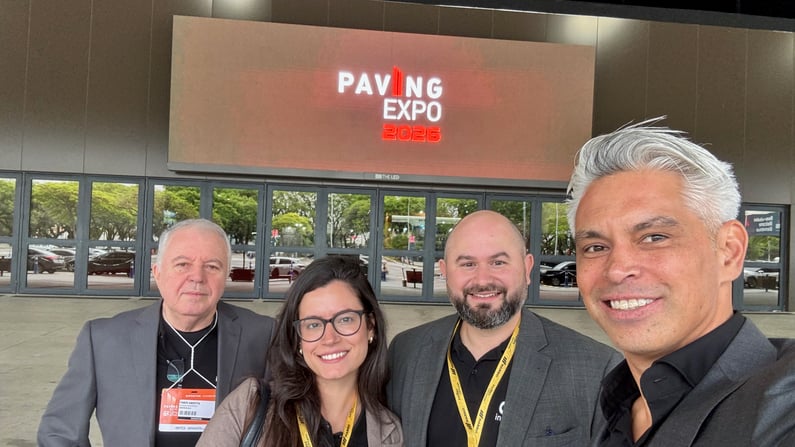
That is the basis for describing Inspech as a proven applied-AI use case for professional visual pavement assessment. The evidence is not only that a model recognises something in an image. It is that the technology has been used within a recurring professional inspection practice.
International experience does not remove the need for local validation.
The right question for a Brazilian organisation is whether the complete workflow works on its roads, with its imagery, methods, people and operating constraints. That includes capture quality, review effort, turnaround, useful outputs and a repeat-assessment cadence the team can sustain.
The business case should assess that whole process—not compare a camera and a specialist survey vehicle as though they perform the same job. Which additional evidence does the workflow provide? Which decision does it support? What effort is needed to produce and use it? Can the organisation repeat the process when that evidence is needed again?
Those are the tests I believe applied AI should pass.
A Brazilian version—and a commitment to Brazilian workflows
The Brazilian launch was particularly meaningful because local relevance requires more than changing the language of an interface.
Our Paving handout brought together Brazilian Portuguese, references to Brazilian pavement-assessment methods and a clear principle: local validation before scale. [4]
Presenting alongside Fabio helped put that principle at the centre of our message. His introduction focused on professional workflows and international road experience—the starting point for discussing where the technology can contribute. [4]
Our ambition is to work with Brazilian concessionaires, road authorities and inspection partners on useful recurring workflows, rather than ask them to reshape their operations around an AI demonstration.
Support for a DNIT-based workflow should not be confused with approval for every regulatory purpose. The applicable methods, required measurements and intended use of the output must be established for each deployment.
The role we propose is specific: visual evidence of pavement-surface condition that helps technical teams follow changes and support conservation decisions. It complements the wider inspection process; it does not stand in for it.
What we take forward from our first Paving.
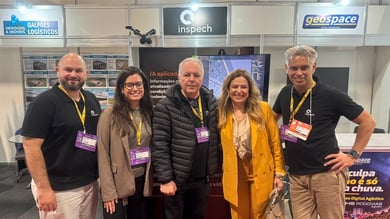
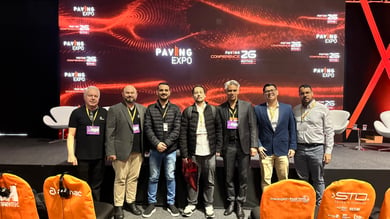
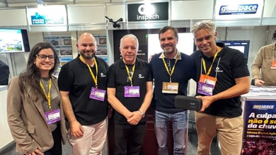
I am proud of the Brazilian launch, and grateful to everyone who joined our session and spent time with our team.
My strongest takeaway is that the next step should be practical. In the closing part of our presentation, we proposed starting with one route, one decision, one accountable owner and an agreed method. Set a decision date in advance. Establish whether the workflow is useful, adjust where necessary and expand from an operational starting point that has been validated. [4]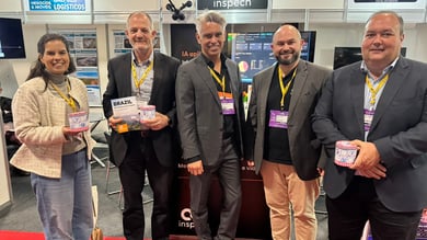
For me, that is a more meaningful approach to AI adoption than an impressive demonstration with no clear route into everyday work.
Our responsibility as a technology company is to help the people managing infrastructure obtain information they can inspect, question and use.
Brazil’s road ambitions deserve evidence that keeps up. Applied AI earns its place when it helps the teams responsible for pavement conservation make better-informed decisions, repeatedly—not just once on a conference stage.
For teams responsible for road conservation: where would a more current, comparable record of pavement condition make the greatest difference in your next maintenance decision?
Explore our Paving session.
Download the handout from our session with Glenn Brouwer and Fabio Abritta, including the linked demonstrations:

Sources
[1] ANTT, 18 September 2026: Independent Verifiers and conservation monitoring
[2] Fernando Bezerra: LinkedIn post on Independent Verifiers
[3] Viviane Esse: LinkedIn post on investment and road concessions
[4] Paving session handout: Glenn Brouwer and Fabio Abritta — supplied PDF, cited pages above.
[5] DNIT 006/2003-PRO: pavement-surface assessment procedure
[6] DNIT 008/2003-PRO: continuous visual pavement-surface survey procedure
[7] ANTT: Terms of Reference for concession verification services, sections 1.1–1.14